Last Updated: 31st May 2024

Beginner - Intermediate

Save Trail Save

I've done it Done

Fun at Riverhead

Kumeu, Auckland

Submitted by Dan Boulton

Last Updated: 31st May 2024

Beginner - Intermediate

Save Trail Save

I've done it Done

Open

Grunt Factor: 15 ?

Gnarl Factor: 64 ?

8.9km

320m

320m

169m


Login as a VIP to see driving directions, distance and time.

Trail Map

Type of Run

Urban fringe

Loop

Undulating, small hills only

Dog Friendly

Native bush

Plantation/exotic forest

Run Makeup

10%
20%
70%

Gravel Road

Moderate Single Track

Technical Single Track

Average Uphill Gradient: +6.5%

Average Downhill Gradient: -6.0%

Trailhead

Login as a VIP to see the trailhead information.

Estimated Times to Run

1:40

Slow

1:10

Moderate

0:45

Fast

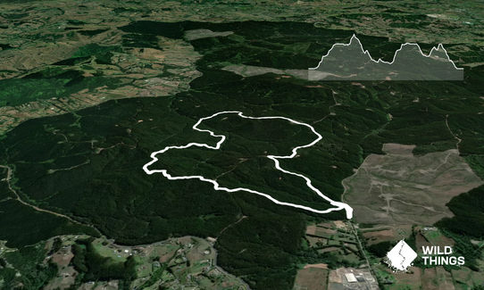
From the start/gate, head 170m up Long Bush Rd and look out for a track entrance on the left, head into the bush for about 100m and look out for a hard 270 degree left turn down to the creek. Follow this track up a gradual hill for 1.1km to Barlow Rd. Cross this road and enter the bush trail again 10m up on your right. Once you are a 100m into the bush, take a share right up a trail, staying on this for 500m (keep left at the fork 100m up the hill).

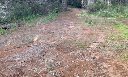
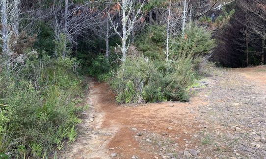
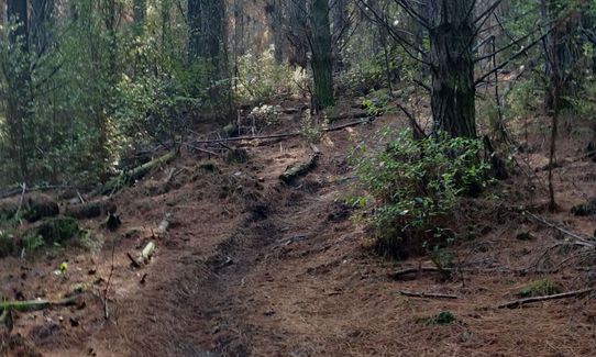
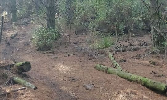
After 500m you reach a steep 4WD track, the trails crosses this about 10m down to the left (this trail entrance isn't that easy to spot). Cross the 4WD track and follow the trail again for about 700m, undulating over some great trails. When you hit the next 4WD track, turn right and follow this up 150m to a main forestry road. Turn left on this road and then almost immediately take the first right road at the fork, follow this down 200m and you will reach another fork. Right as the fork splits you enter the a trail, follow this fun undulating trail for 700m where it spits you out onto another 4WD trail.

Turn left onto this, and stay on it for 800m, until you reach a big open area or t-insterction. To the right a trail falls away down a hill, follow this down to stream crossing and back up onto a 4WD track. Turn left, and after 15m take the steep track to the right, climbing 500m up to Strip Rd. Turn right and stay on Strip Rd for 1.2km, merge right onto Barlow Rd. Stay on Barlow Rd for 1.2km, the last 700m is uphill from the Link Rd intersection. After 1.2km on Barlow Rd you will find a small forestry road on the left, take this down for about 250m and you will find a trail entrance on the left. This takes you all the way down to the trail you started on off Long Bush Rd, about 1km of fun fast trails. Back on Long Bush Rd run right and head back to your car.
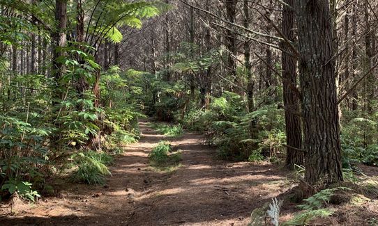
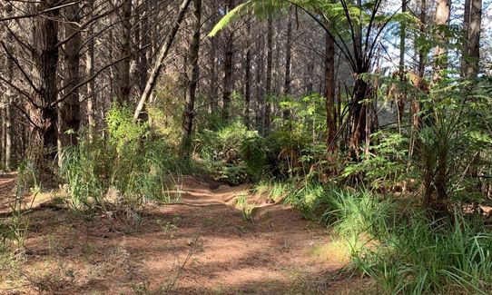
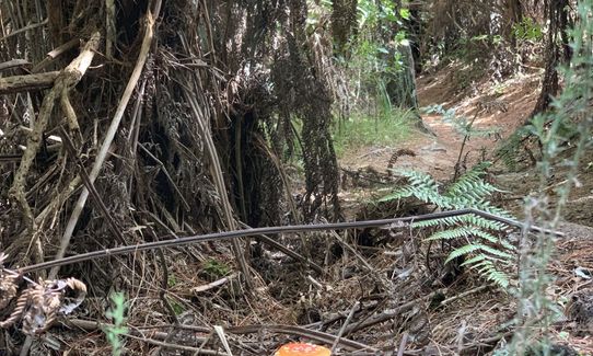
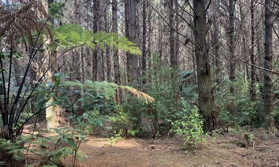
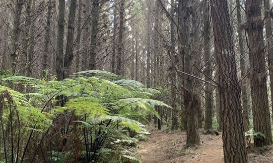
Typical pine forest, but has lots of undulating hills which work the legs. I love the small lumps and bumps which you can have fun bouncing over. Can be muddy, but adds to the fun.

If you know of any public toilets near the trail start or on the route, please login and then let us know so we can update this section.

Park at the end of Forestry Rd before the gate, don't block the gate as people use it.

4 km

5 minutes

Yes

No

Moderate.

Being a working forest, it doesn't have many (if any signs), hence the detailed instructions. Take a map, or a phone that has GPS map that shows where you are. I find the map on the Suunto Movescount app is really good.

There are heaps and heaps of great trails at Riverhead forest, you just have to spend time working out how to get around them.

Patchy.

Whistle, First aid kit, Extra food for emergencies, Cellphone, Map

Limited, there are streams but none I would drink out of.

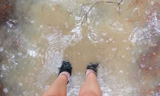
Can be muddy in winter or right after big rains. Still very enjoyable though.

Trail Legend

KM

Karen McDonnell

has completed Fun at Riverhead once in the last year.

Learn about Trail Legends.

You and Fun at Riverhead

As a VIP member you can record private notes for this trail, see all of your times and more.

Register Now

Already have an account? Login now

Trail Reviews

No reviews since June 22 so I took a gamble yesterday and went to do this with a friend. It's definitely not passable in its original format. We still had a nice walk along the forestry roads and made our own loop.

Kirstin Adolph

April 10, 2023

Attempted this track recently and due to the logging work currently happening(late May2022) the track is no longer fully accessible. I ran this reverse but it looked like the trail section around browns road, by the barlow road intersection, to where it rejoins the forestry road was inaccessible. Logging work looked to been right up until the edge where it rejoins the forestry road so the trail, at least at the moment, is probably still present. The forestry road had barriers up by the barlow road intersection to stop access.

Rest of the track is good. I detoured by following brown road and turning down barlow.

James Rees

June 2, 2022

So glad I had the GPS map on my phone since I am directionally challenged! I have run at Riverhead many times before and this route was a treat being off the logging routes for most of the time. Luckily I started earlier and the MTB weren't out since quite a bit is on bike tracks. It has been dry....so no mud to contend with. I added another 8 mile loop in Riverhead to make it my 16 miler training run.

Jennifer Bepko

April 2, 2022

A great mix of everything Riverhead has to offer, but a few tricky bits due to the logging activity. 1) at the start going into the trail, a bit of bushwacking to locate the trail and 2) Up the top of the metal rd Thing 1 is now inaccessible but you can follow the road and link into Thing 2 which is fine.

Anne Trautvetter

March 7, 2022

Login to submit a review

Trail Running Community

Find people who are interested in or have completed this trail run.

You must register or login to view this feature.

Register Now

Overlapping Trails

These overlap with this trail to some degree. You may wish to combine them but please note that to qualify for FKTs on these runs you should record a separate activity for each.

Riverhead Blast

Riverhead Blast

Length: 19.3km

Level: Beginner - Intermediate

Riverhead Forestry Road 14KM

Riverhead Forestry Road 14KM

Length: 14.4km

Level: Intermediate