Last Updated: 18th Jan 2025

Beginner - Intermediate

Save Trail Save

I've done it Done

Whakarewarewa Circuit - the Black Track

Rotorua, Bay of Plenty

Submitted by Christina Hoey

Last Updated: 18th Jan 2025

Beginner - Intermediate

Save Trail Save

I've done it Done

Open

Grunt Factor: 37 ?

Gnarl Factor: 12 ?

32.6km

950m

950m

500m


Login as a VIP to see driving directions, distance and time.

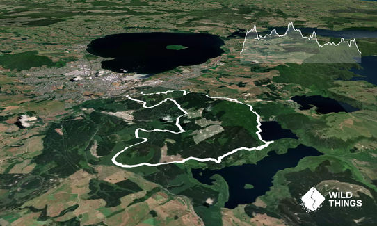
Trail Map

Type of Run

Front country - easily accessible

Loop

Undulating, small hills only

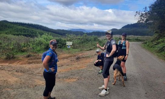
Dog Friendly

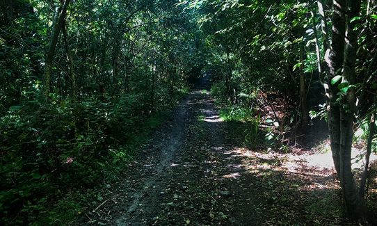
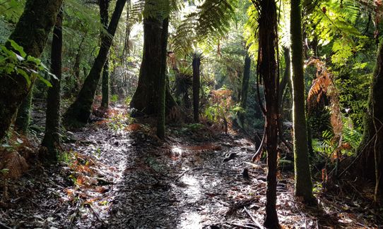
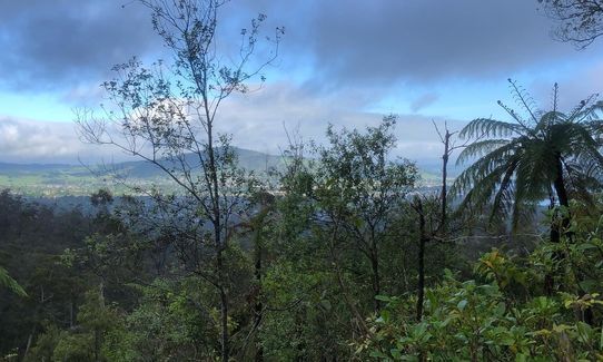
Native bush

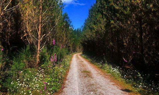
Plantation/exotic forest

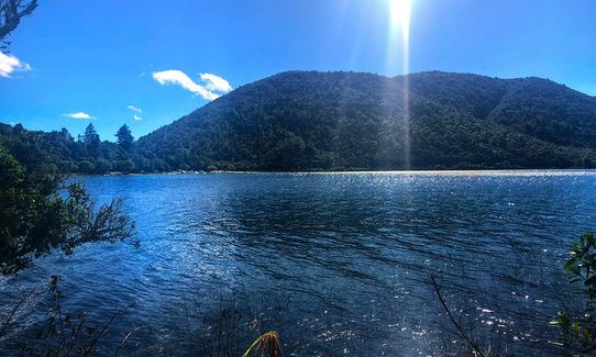
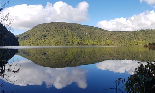
Lakeside

Run Makeup

90%
10%

Easy Single Track

Moderate Single Track

Average Uphill Gradient: +5.7%

Average Downhill Gradient: -5.9%

Trailhead

Login as a VIP to see the trailhead information.

Estimated Times to Run

4:30

Slow

3:45

Moderate

3:00

Fast

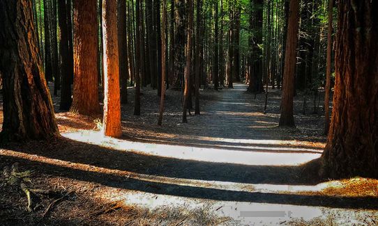
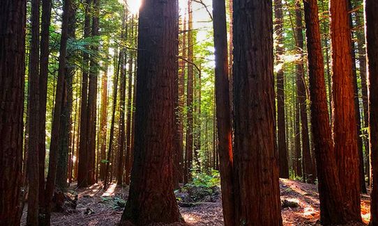
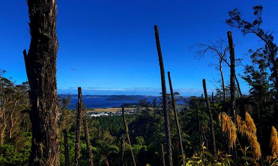
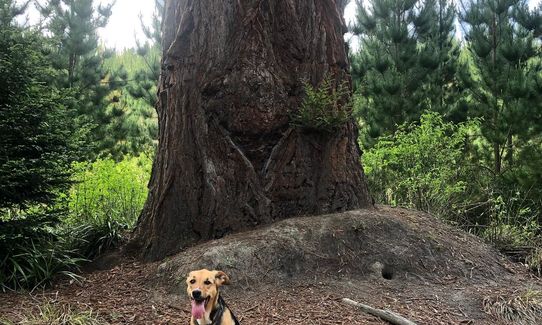
Gorgeous jaunt through the redwoods and native bush! Just follow the black arrows, it's pretty well marked. Varied terrain - forestry roads, mountain bike tracks, walking trails.

Follow the signposts for the tracks leading out of the Redwoods visitor's centre via the Redwoods Memorial Grove.

Take a left after the small bridge and follow for about 250m before turning right onto Green / Purple / Black tracks for the first climb. Follow this to the top, then go right up the stairs via Purple / black tracks.

At the top, follow the black arrows to the left, all the way to the top of Tokorangi Pa and down to the water tanks. Follow the black arrows onto the Lynmore Link track, over the footbridge, and take a left onto Pipeline Rd. Follow this for several kms, then branch left onto the signposted diversion track.

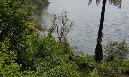
At the end of this, take a right onto the Blue Lake Feeder track. Follow this until the Black track diverts off to the right about 400m before the grass embankment above Blue Lake (it's signposted with a black arrow; if you hit the grass, you've gone too far). Follow this meandering single track until it joins onto the Blue Lake circuit track and go right.

Follow this to the Tikitapu Rd / Lakefront Rd junction and go right up Tikitapu Rd (i.e. up the hill). Follow Tikitapu Rd for approx. 5kms then follow the black arrows down Branch Rd, take a right onto Green Lake Rd, then cross Eight Mile Gate Rd onto Sandstone Rd. Follow this for a couple of kms and follow the black arrows on the single track through the natives block, and go left on the other side (no signposts).

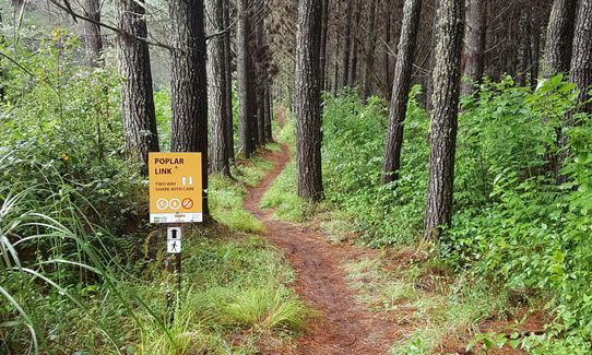
Follow Heath Rd to the end, then turn right onto Popular Ave. At the next junction, go through the gate, cross the road onto the short section of single track, then veer right. Head up the hill, taking the signposted left turn which heads onto Ring Rd. Take a right onto Ring Rd, follow it to the end and head right onto Reservoir Rd. Follow this to the Reservoir / Hill / Pipeline junction and veer left onto Pipeline Rd. Head up Pipeline, through the junction, and carry on straight ahead down the hill for about 300m. Take the signposted left turn, then a right onto the K2 trail.

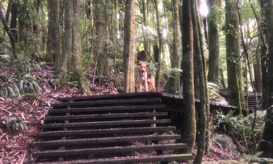
Follow this section of single track until you come out onto The Wash Rd andhead right down the hill. At the bottom you'll see the black and purple arrows (the tracks rejoined at the top of K2) and take a right into the bush and up Cardiac Steps; the last climb of the track!

Follow the steps up to Katore Rd and follow it as it skirts around the reservoir (keep this on your right). At the junction of Katore / Nursery / Radio Hut Rds, take a right turn onto Norsery and head down the hill. You'll hit tarmac about halfway down; follow it to the gate. Head through the gate and along Longmile Rd for about 80m and head back into the Redwoods. Follow this track to the junction by the small bridge and head left back to the visitor's centre.
An eagle nesting site.

If you know of any public toilets near the trail start or on the route, please login and then let us know so we can update this section.

Free parking at the Redwoods i-site.

5 km

9 minutes

Yes

No

Moderate.

Very patchy.

Short-sleeved thermal top, Windproof jacket, Whistle, First aid kit, Extra food for emergencies, Cellphone, Map

There is one water point about 25kms into the trail, at a big trail intersection.

Very muddy after rain! Just ask the 2018 TUM runners!

Sequoia Eatery
10 Tarawera Road, Rotorua
https://sequoiaeatery.co.nz/
Great coffee. Nice takeaway/cabinet food as well as a good menu.

Trail Legend

Matthew Scrafton

Matthew Scrafton

has completed Whakarewarewa Circuit - the Black Track 4 times in the last year.

Learn about Trail Legends.

You and Whakarewarewa Circuit - the Black Track

As a VIP member you can record private notes for this trail, see all of your times and more.

Register Now

Already have an account? Login now

Trail Reviews

Thoroughly enjoyed this track. A couple of places to fill up with water and toilets along the way. I went midweek and saw about three other people the entire time. Mostly well signposted but some of the black arrows are missing and could get confusing, having the GPX on my Garmin made it very easy to navigate. Nothing like the treated waste water sprinklers to get you moving through some of the areas!

Curtis Walford

October 15

Absolutely loved this trail. Yes there is a lot of forestry road but you’re still mostly in forest and especially after blue lake you’re not likely to see anyone. Mostly well signposted but would still recommend loading the gpx file on to your phone to be sure.

Tom Brennan

October 24, 2022

So glad to finally get to do this one! Really enjoyed the varied terrain. Lots of good long downhills and apart from the first climb to the Tikorangi Pa the uphills not too bad. It's a good idea to load trailforks or Capra onto your phone to make sure you're heading in the right way. There is currently a detour because upper reservoir Rd is closed, so it takes you on Larch Rd, and at the top there is no signpost on which way to go (well we didn't see one). so we headed left down Red Tank, and then right onto Te Wash rd and then found the track again.

Jayne Tankersley

September 20, 2021

I started this loop from Lake Tikitapu where I was staying and ran clockwise. The advantage of starting at Lake Tikitapu is you can jump into the lake at the end! These trails are beautiful and mostly very quiet. It is mostly well signposted but on occasion a sign would be missing, but luckily I had photographed the main signboard with the entire loop earlier. This really helped when I wasn’t sure which way to go. There are at least 4 water fountains throughout the loop so no need to carry too much water. If you are not after a fkt and want to stop and refuel on coffee and a nice snack there is a new cafe open just at the bottom of Nursery Rd, at the start of Long Mile Rd as you are running towards the visitors Ctr in the new Scion Research building.

Tracy Elley

January 6, 2021

Login to submit a review

Trail Running Community

Find people who are interested in or have completed this trail run.

You must register or login to view this feature.

Register Now

Overlapping Trails

These overlap with this trail to some degree. You may wish to combine them but please note that to qualify for FKTs on these runs you should record a separate activity for each.

Tokorangi Pa Track

Tokorangi Pa Track

Length: 11.4km

Level: Intermediate

Fat Man's Run

Fat Man's Run

Length: 17.8km

Level: Beginner - Intermediate

RTRC Club Track Loop

RTRC Club Track Loop

Length: 12.0km

Level: Beginner - Intermediate

Whakarewarewa Rainbow

Whakarewarewa Rainbow

Length: 61.0km

Level: Beginner - Intermediate

New Kakapiko Loop

New Kakapiko Loop

Length: 8.9km

Level: Beginner

Lush - Redwoods

Lush - Redwoods

Length: 8.7km

Level: Beginner - Intermediate

RTRC Natives Loop

RTRC Natives Loop

Length: 9.0km

Level: Beginner

As You Do Loop

As You Do Loop

Length: 5.7km

Level: Beginner

Orange Kakapiko

Orange Kakapiko

Length: 9.2km

Level: Beginner

3 of the Best

3 of the Best

Length: 10.5km

Level: Beginner

Blue and Green Lake Loops

Blue and Green Lake Loops

Length: 14.0km

Level: Beginner - Intermediate

Other trails nearby
Okataina...Eastern & Western

Okataina...Eastern & Western

Length: 33.7km

Level: Beginner - Intermediate

Whirinaki Long Loop

Whirinaki Long Loop

Length: 87.0km

Level: Intermediate

Waimangu

Waimangu

Length: 10.0km

Level: Beginner

Yellow Plus Cardiac

Yellow Plus Cardiac

Length: 8.3km

Level: Beginner

Find more trails and peaks nearby