Back country - remote
Loop
Mountainous
Native bush
Riverside
Open ridges/tops
Moderate Single Track
Technical Single Track
Untracked / Route only
Average Uphill Gradient: +18.8%
Average Downhill Gradient: -18.7%
Login as a VIP to see the trailhead information.
Not suitable
Slow
5:00
Moderate
3
Fast
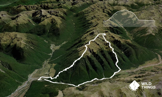
Start at Boyle Village carpark and head onto the road North over the bridge. Immediately turn right onto the track that is the start of the Mt Faust Loop.
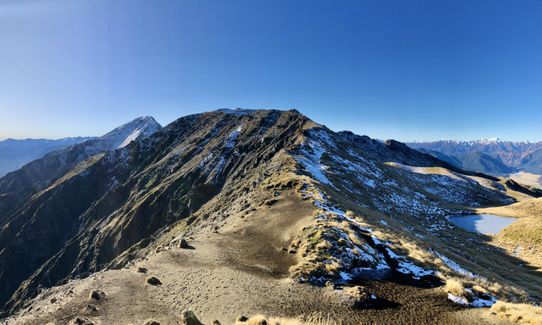
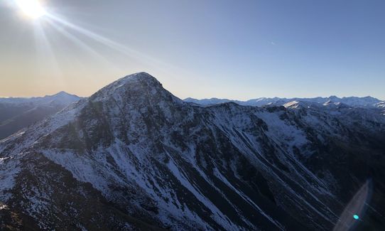
Following the good trail through amazing Beech forest for a leg-burning 700m of ascent until you are ejected onto the tops. Follow the ridgeline until the true summit of Mt Faust.
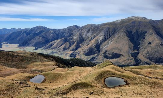
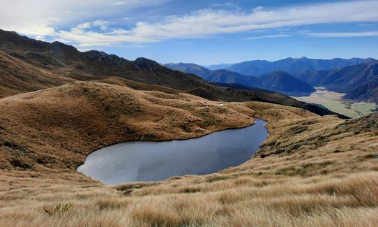
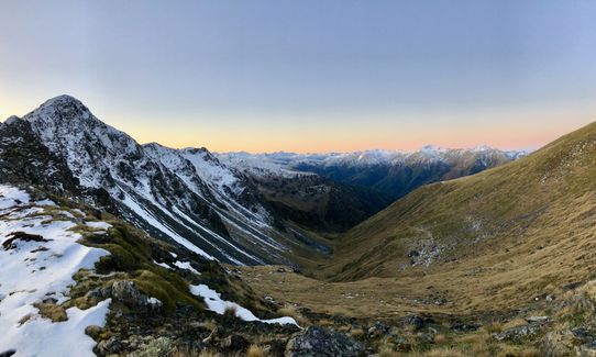
You can detour here and tick off Mt Mephistopheles or continue to point 1661. The trail can be tricky to find here, but head South past two tarns until you hit the ridgeline at an obvious notch, just below point 1607.
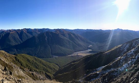
Follow the ridgeline down until you hit the tree line and follow an often overgrown trail all the way to the valley floor. It can be easy to get lost here!
Once you hit the St James Walkway, 5km of excellent trail next to the river, with one vertigo-inducing swing bridge, brings you back to the car park.
This trail includes the peak Faust.
If you know of any public toilets near the trail start or on the route, please login and then let us know so we can update this section.
Lots of good, free parking at the campsite.
0 km
1 minutes
No
No
Moderate.
Easy to get lost in the forest on the way down. If in doubt just go down!
Non-existent.
Short-sleeved thermal top, Windproof jacket, Gloves, Personal Locator Beacon (PLB), Whistle, First aid kit, Extra food for emergencies, Cellphone, Map, Headtorch and spare batteries
Drinkable water available at the tarns on the top.
Exposed tops will be covered in snow in the winter, recommended only when not covered.
Trail Legend
Fastest Known Times (FKTs)
You and Mt Faust Loop
As a VIP member you can record private notes for this trail, see all of your times and more.
Already have an account? Login now