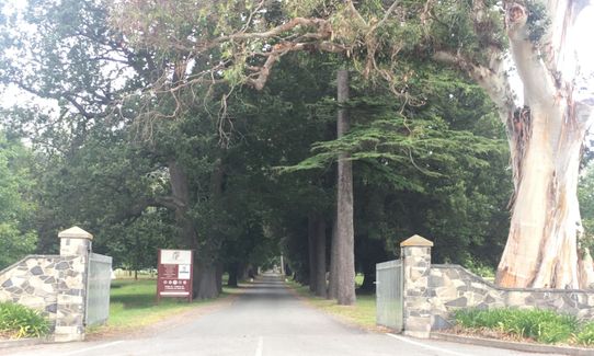
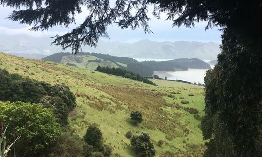
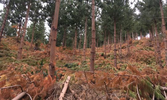
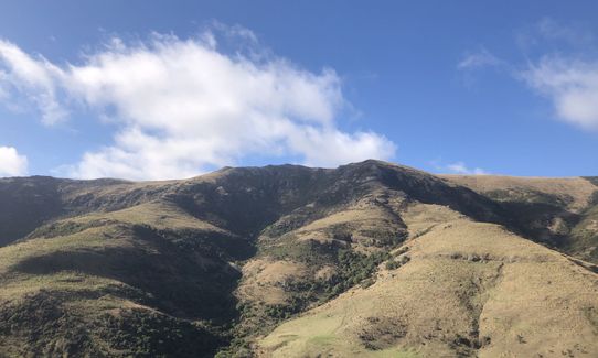
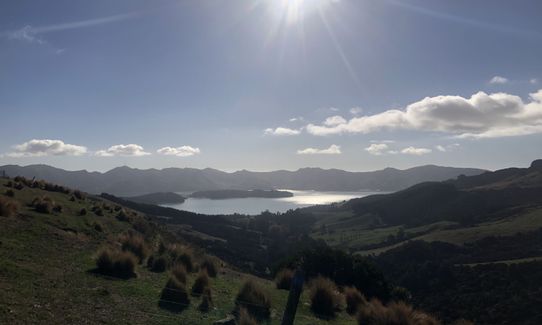
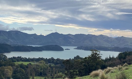
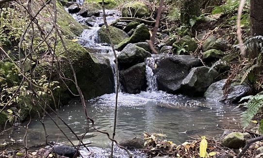
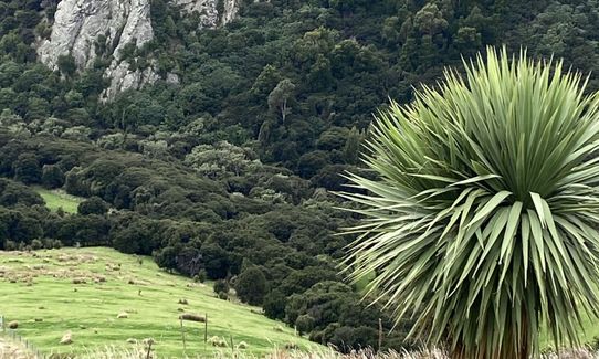
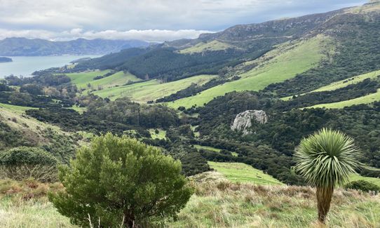
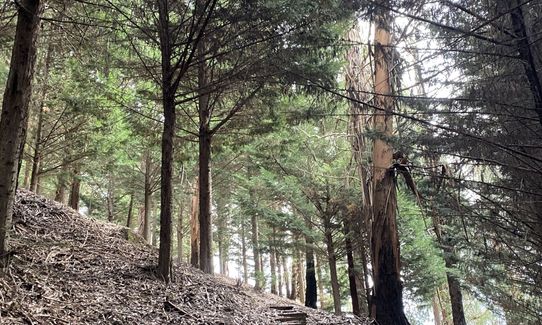
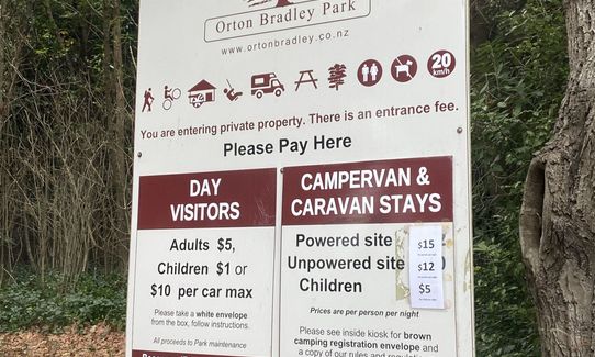
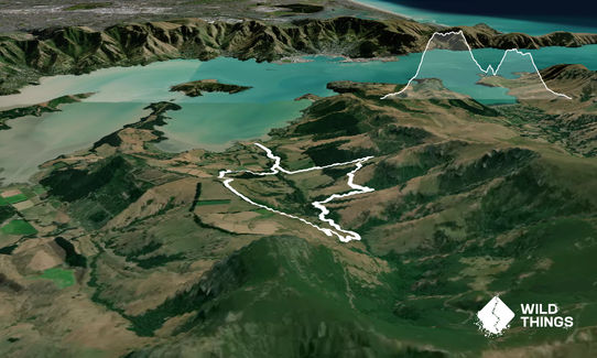
Park outside the gate for the longer run and head up the driveway. Hook a left at the fernery and head thru the rhododendron garden - this a sweet piece of single track that leads you out to the childrens playground - stop and have a go on the flying fox if the need arises - make your way across the grass and cross over the bridge at the other end of the playground. Cross the grass and road and there is a mountain bike track on the other side of the road - theres a small arrow pointing to the track. Get yourself onto this and weave your way thru the trees until you reach the toilets and the cattle stop - cross the first cattle stop and hook a right onto the 4wd track. The track is marked by posts that have blue paint on the top from here... weave your way up the hill and then you cross a couple of stiles. You then find yourself in some gum forest on some lovely single track. This weaves up thru the trees for about 600 metres with a bit of a grunty climb towards the top. You climb out over another stile and then you're back on some 4wd track as you climb for about another km. Over another stile (yip there's heaps) and you're back on some single track. Follow this track along the fenceline. You get some fantastic views down into the valley and up to Mt Herbert and Mt Bradley and back across Lyttelton harbour. This part of the track is undulating and usually covered in sheep poo, but it adds to the fun. After about 1km you hook a left and start dropping down into the valley along a 4wd poled route. In reality its a grassed over track. Keep heading down and go past the first stile that heads up to the waterfall (this is another great run), and cross the second stile and back onto single track. This weaves along the edge of the stream through native bush. When the track forks take the right hand track and cross the stream over the bridge. At the next fork, again veer right and stay on the walking track (the straight ahead track is for mountain bikes). Keep following the blue marker poles - the track climbs slightly before peeling off to the left and back into single track in the bush. You will climb up past Big Rock (take a wee detour and check out the view) before once again dropping down onto some grassed track. Once you hit the 4wd track again you will see a sign on the right indicating Magnificent Gully ... take this track and climb up alongside the stream thru native bush. At the top hook a left onto the 4wd track ... the sign post says Hunters Gully and carpark. This part of the track is a mixture of open paddocks and 4wd tracks. The paint has come off some of the posts so they have barbed wire wrapped around them. Follow these. After a while you will pop over another stile and head thru some young pine forest before once again popping out into a paddock. Head across here and then follow the sign down into Hunters Gully... this is an awesome single track downhill weaving thru native bush with a couple of stream crossings. Once out of here you will find yourself back in another paddock - scoot down here and then across the next stile and thru the High Ropes course paddock... follow the blue marks on trees and then cross a bridge made of old concrete power poles. Head across the grass, aiming towards the bridge you first crossed, back over this, across the playground and back thru the rhododendron garden and back down the drive to your car. You could always grab some organic, raw milk while you are out here and the cafe is open in the summer for after run food and drinks.
