Last Updated: 12th Aug 2024
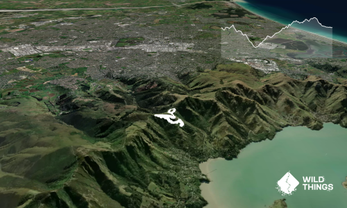
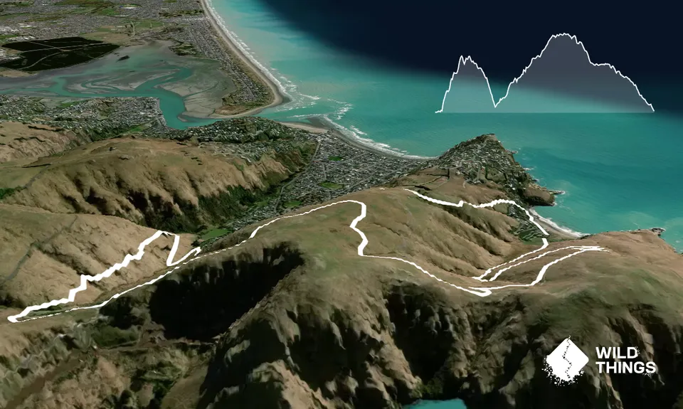
Taylor's Thomas Twirl
Taylors Mistake Captain Thomas Loop
Taylors Escape, Godley Head Mountain Bike Track, Captain Thomas Track
Last Updated: 12th Aug 2024
Grunt Factor: 18 ?
Gnarl Factor: 26 ?
13.3km
570m
570m

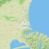
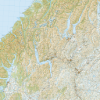
Trail Map
This Topo layer only covers NSW/ACT.
Switch to another map layer when viewing outside this area.
Switch to another map layer when viewing outside this area.