Front country - easily accessible
Loop
Totally/mostly flat
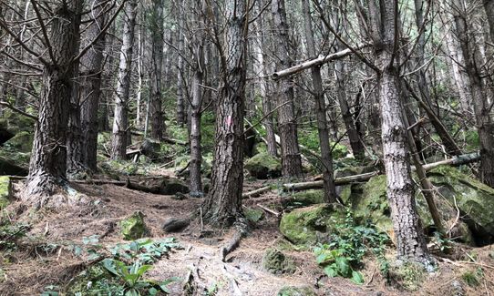
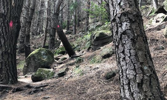
Plantation/exotic forest
Riverside
Easy Single Track
Technical Single Track
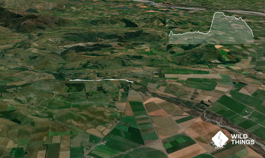
Average Uphill Gradient: +9.2%
Average Downhill Gradient: -7.7%
Login as a VIP to see the trailhead information.
1:00
Slow
0:45
Moderate
0:30
Fast
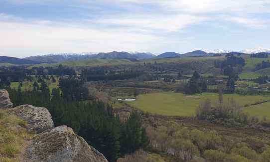
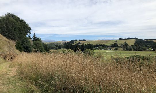
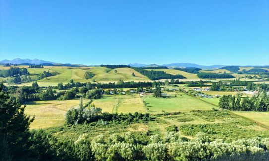
This awesome wee trail has a nice riverside meander on good single track leading to an awesome 200m climb up 64m of elevation - hence the "Coalgate Crusher" - followed by a gentle downhill along the ridge back to the start with amazing views across the Canterbury plains towards Christchurch and the Port Hills.
Interesting geology and great views across the Canterbury plains
If you know of any public toilets near the trail start or on the route, please login and then let us know so we can update this section.
4WD vehicle is required to utilise the steep gravel track off the road, which is immediately after the bridge, surprisingly close to the bridge. Parking for a couple of vehicles on the flat.
If you don't have 4WD head slightly further from the bridge and there is a large driveway on the right, part of this is the old road to the bridge, it has a chain across it but looks like pedestrian access on the still sealed but overgrown road is possible, this joins up with the trail a few metres in.
13 km
11 minutes
No
No
Easy.
The only place you could go astray is where the turn off to the climb section is, if you see a sign saying "Bridge", go left.
Generally good.
Windproof jacket, First aid kit, Cellphone, Map
Take you own
Can get quite windy up on the ridge.
There are some steep drop offs on the ridge but the trail is far enough away to be safe, take care if stepping off the trail for photos.
Trail Legend
Fastest Known Times (FKTs)
You and Coalgate Crusher
As a VIP member you can record private notes for this trail, see all of your times and more.
Already have an account? Login now
Dec 2022, track is clear of the storm debris mentioned in earlier reviews. Some tall plants and brambles making the river track pretty narrow and closed in, slow in sections but mostly runnable. I was pleasantly surprised that it wasn't actually that grassy - it may have recently been weed whacked so this may not last! It's much easier to park at the driveway area a little further past the bridge.
December 29, 2022
You live and you learn! The long grass made wearing a shorts a poor and painful decision- recommend long trou! :-)
December 14, 2021
1st Oct 2012 post storm damage update:
I've made the upper track 'runable', but you have to clamber over some fallen trees.
The riverside track is a disaster area, hundreds of mature pine trees are completely blocking the track, if you stay close to the waters edge then you can force a route, but it's a bush bash, not a run.
October 1, 2021
This is my local run, only 4kms from home.
Over the last 18 years I reckon I've run it over a thousand times ! (Twice per week, 52 weeks/year, 18 years ~1800).
If you fancy a variation then it's possible to follow the riverside track as far as the single lane road bridge at the far end of Glentunnel. The track is less well trod, with a 100m scrambly section over fallen trees and a wee stream.
April 28, 2021