Back country - remote
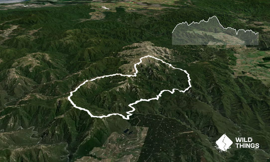
Loop
Mountainous
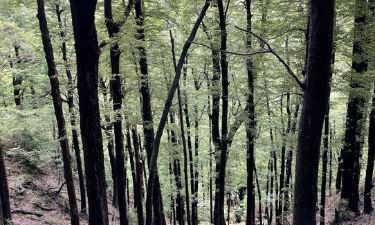
Native bush
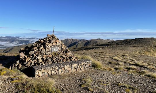
Open ridges/tops
Easy Single Track
Moderate Single Track
Technical Single Track
Untracked / Route only
Average Uphill Gradient: +14.9%
Average Downhill Gradient: -15.3%
Login as a VIP to see the trailhead information.
12:00
Slow
9:00
Moderate
6:00
Fast
WARNING: Do not attempt this course without a map and a compass, and make sure you can use them. Even in summer it can be very easy to get lost in poor weather, and common sense is more important than fitness in this instance.
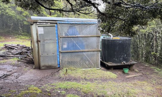
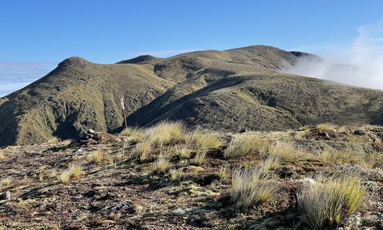
Starting at the Lakes Car park follow the track signs to Kuripapango and Kiwi Saddle Hut. This is a very steep climb and depending on fitness could take over two hours to reach the hut. From Kiwi Saddle follow the signposts to the right leading towards Studholme Saddle, past Castle Camp and Kaiahari. This is an entirely poled route; although it is well walked and a track is visible, don't rely on this fact.
You will pass another signpost pointing towards Kaweka J or Mackintosh Spur. If you are having a hard time or weather is very poor it would be wise to head down Mackintosh Spur and follow the track back to lakes. If you're planning on continuing, head towards Kaweka J, following the poles and signs.
Once on the summit of Kaweka J, descend via Makahu Spur NOT Dons Spur ( Dons Spur track no longer exists, and if you take it, you will find yourself on a scree slope and not having much fun.)
Follow Makahu Spur all the way off the summit until you reach the Makahu Saddle Hut/car park. From the car park, follow a small track that will come off of your right, this will lead to the Ngahere Experimental Basin, and a sign post that will point towards Mackintosh Hut. Follow the clay pans towards Mackintosh until you come to a very, very steep gully that leads to the Donald River. Take it easy descending and ascending this gully, as it's very steep and can get slippery in wet weather.
Before you reach Mackintosh Hut you will come to a sign post that will point towards Mackintosh Spur and Studholm Saddle, follow this track for roughly 10-20 minutes until you come to another sign that will point you back towards the lakes car park. Stay on this track until you're eventually back at where you started.
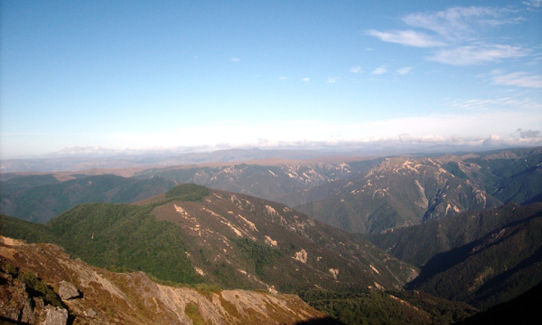
This trail includes the peaks Kaweka, Kaiarahi and Kuripapango.
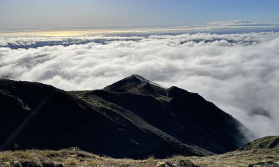
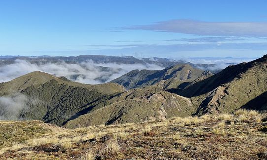
A true mountain run! The track can offer spectacular views of Hawkes Bay, the Central Plateau, and offers a satisfying challenge for even the most hardy runners but can also be dangerous if not respected.
If you know of any public toilets near the trail start or on the route, please login and then let us know so we can update this section.
Good parking at trailhead. Take the usual precautions regarding valuables.
63 km
60 minutes
Unknown
No
Hard.
Keep a close eye on the map and don't attempt this route unless you know how to use map & compass.
Very patchy.
Thermal leggings, Lightweight fleece top, Long-sleeved thermal top, Seam-sealed waterproof jacket, Gloves, Beanie/thermal headwear, Personal Locator Beacon (PLB), Whistle, First aid kit, Extra food for emergencies, Survival bag, Cellphone, Compass, Map, Headtorch and spare batteries, Crampons / microspikes (for winter conditions)
Make sure you take at least 2L of water with you and plenty of food, as there is no place to refill Between Kiwi Saddle Hut and Ngahere.
This is a VERY exposed route that can be brutally hot in summer and brutally cold in bad weather. Go prepared!
Your main hazard is the possibility of fast-changing weather conditions. Again, go prepared!
Fastest Known Times (FKTs)
You and Kaweka Klassik
As a VIP member you can record private notes for this trail, see all of your times and more.
Already have an account? Login now
I did this trail on the 21st of December. I was staying in Puketitiri so I started from the Makahu Saddle car park and did the trail in the reverse direction so I was down off the tops before the forecast wind arrived. It was a foggy start (not forecast) so I decided to use the map function on my watch as a backup. This worked well but resulted in my watch battery dying 1km from the finish. Once I was past the Dominie bivy the fog cleared and I had stunning views from the tops.
Parts of the lower trail were really over grown. I had ankle gaiters on but my legs got really scratched and it was slow going at times. There had been lots of rain in previous days so the rivers were up and I took extra time and care finding safe places for the river crossings.
There were plenty of water sources on the trail from the huts and rivers.
I love the Kaweka’s and it was another great adventure.
January 8, 2023
Very challenging trail. The lower tracks back to Lakes car park are very challenging and not well maintained. There are few markers and the drops into the gully’s are very steep and knarly with lots of loose dirt that is dangerous especially down and back up the Donald stream gully.
August 3, 2021