Front country - easily accessible
Point to Point (one way)
Undulating, small hills only
Native bush
Open tussock/grasslands
Easy Single Track
Moderate Single Track
Average Uphill Gradient: +2.7%
Average Downhill Gradient: -5.6%
Login as a VIP to see the trailhead information.
2:15
Slow
1:45
Moderate
1:15
Fast
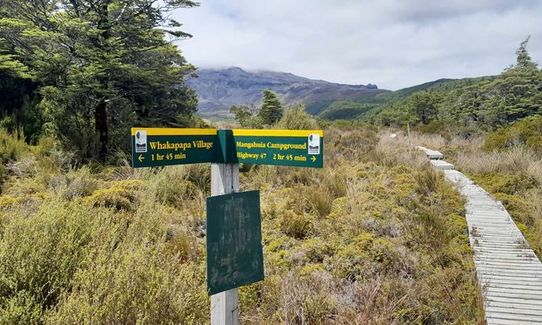
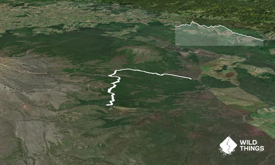
This route follows the Whakapapiti Track from Whakapapa Village to the Mangahuia Track, and then down the Mangahuia Track to the Mangahuia campsite.
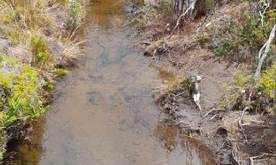
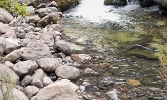
This route crosses the Waikare and Whakapapaiti streams (by bridge).
If you know of any public toilets near the trail start or on the route, please login and then let us know so we can update this section.
There is a small carpark at the trailhead, otherwise there is parking on the road nearby or downhill at Whakapapa Village.
16 km
13 minutes
No
No
Easy.
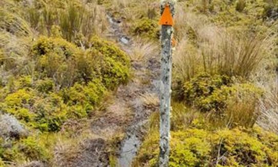
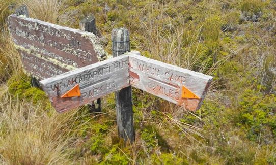
Just follow the DOC signs and markers, but be careful to take correct turns at junctions as there are three.
Generally good.
Whistle, First aid kit, Extra food for emergencies, Cellphone, Map
Fastest Known Times (FKTs)
You and Mangahuia Meander
As a VIP member you can record private notes for this trail, see all of your times and more.
Already have an account? Login now
These overlap with this trail to some degree. You may wish to combine them but please note that to qualify for FKTs on these runs you should record a separate activity for each.