Urban fringe
Out and Back
Undulating, some big hills
Dog Friendly
Native bush
Plantation/exotic forest
Open tussock/grasslands
Open ridges/tops
Gravel Road
Farm Road / 4WD Track
Easy Single Track
Moderate Single Track
Average Uphill Gradient: +12.5%
Average Downhill Gradient: -9.3%
Login as a VIP to see the trailhead information.
5:00
Slow
4:00
Moderate
3:00
Fast
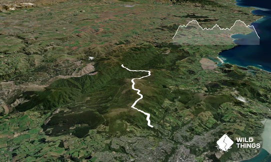
Starting at the bottom of the Pineapple Track on Tanner Rd you head up the hill following Pineapple. Once at the top, take a right hand detour following the signposting towards Swampy Summit. Follow the 4WD track and road up to Swampy Summit and around the dopper radar (big structure at top). Follow the track from the Swamp Ridge route around through to Green Hill. Get there, soak up the views and then head back!
This trail includes the peaks Swampy Summit and Hightop.
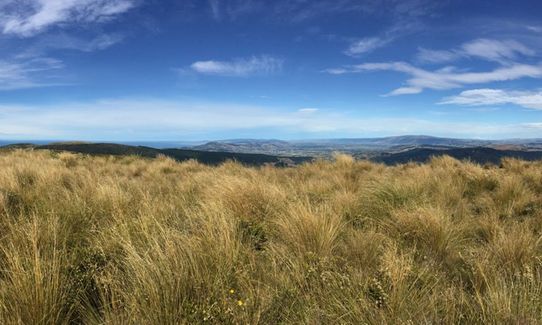
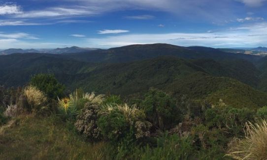
Great views over Dunedin, out to Blueskin Bay, down over the Taieri Plains.
If you know of any public toilets near the trail start or on the route, please login and then let us know so we can update this section.
Only a small area to park off the road. Residential streets around area, so facilities to park a little further away if needed.
6 km
12 minutes
Yes
No
Moderate.
Generally good.
Windproof jacket, Beanie/thermal headwear, Whistle, First aid kit, Extra food for emergencies, Cellphone, Map
Some water early on in the Pineapple Track, a wee fountain before you get to the water treatment plant.
Can be pretty exposed up on the ridges in winter, with snow/ice a possibility.
Lots of wood logs placed on Swampy Ridge section of track to help maintain it, but have to be careful of footing.
Trail Legend
Fastest Known Times (FKTs)
You and Green Hill via Swampy
As a VIP member you can record private notes for this trail, see all of your times and more.
Already have an account? Login now
These overlap with this trail to some degree. You may wish to combine them but please note that to qualify for FKTs on these runs you should record a separate activity for each.