Last Updated: 21st Sep 2023

Beginner

Save Trail Save

I've done it Done

Orokonui Heaven

Dunedin, Otago

Submitted by Mike Tennent

Last Updated: 21st Sep 2023

Beginner

Save Trail Save

I've done it Done

Grunt Factor: 14 ?

Gnarl Factor: 18 ?

10.0km

510m

510m

347m


Login as a VIP to see driving directions, distance and time.

Trail Map

Type of Run

Urban fringe

Combo

Undulating, small hills only

Native bush

Plantation/exotic forest

Riverside

Open tussock/grasslands

Run Makeup

100%

Easy Single Track

Average Uphill Gradient: +8.7%

Average Downhill Gradient: -8.6%

Trailhead

Login as a VIP to see the trailhead information.

Estimated Times to Run

2:15

Slow

1:30

Moderate

0:50

Fast

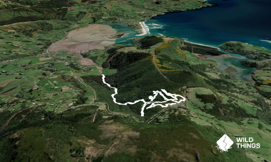
From the Information centre entry, head down and through the pest gate and turn left. You will have a map that they gave you on paying -  suggest you read these instructions at the start while looking at the map and it will all seem very clear.

You are heading onto Aviary Road. Follow this until you see the sign for Easter Orchid Track, follow that (not very far) and turn left on a short out and back to the orchids (hopefully you get them in flower). Once back to the branch turn left again (this is a pattern you will see). You will rejoin the Aviary Track at the Aviary itself.

From the Aviary, carry on along Aviary Rd until you reach an intersection (signposted) where you turn left again onto Kiwi Track. Follow Kiwi Track to the sign for Fuschia Gully Track - this is another out and back and like the orchids, if you choose the right time of year you will see the flowers.

Once you reach the end of the trail, head back to Kiwi and turn left again. A short distance later you reach the sign for Robin Valley Track, a bit of work in this one... not going out though as it is about 2.5km of downhill. On the way you will pass NZ's tallest tree, don't turn back here, carry on the the end of the track where it reaches the fences. Then head back up the trail, which is a good climb. When you get to the intersection, turn left into Bellbird Track, then left into Pokaka Loop Track, back left onto Bellbird and at the next intersection TURN RIGHT onto Tui Track.

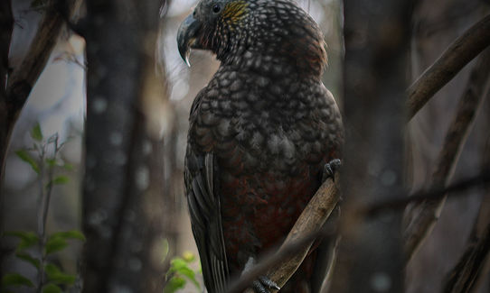
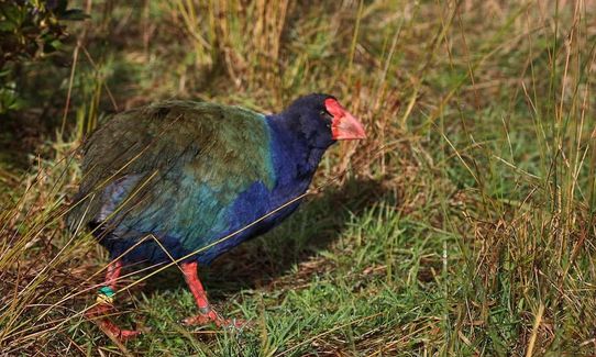
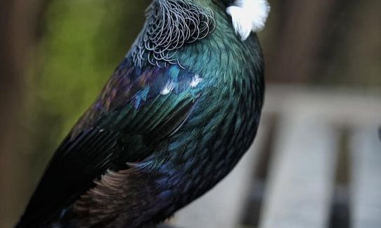
Follow Tui Track down past bird feeders and turn left onto Butterfly Track, turn left again onto Kaka Track and follow it all the way to the viewing platform. Then turn back, turning left yet again into Fernbird Track and follow this right around to the skinks and the other pair of Takahe. Then hop onto Tui Track to the next intersection where you turn left onto Kiwi Track again. Follow this along the fence and then turn left onto Aviary and follow it back to the gate you came in.
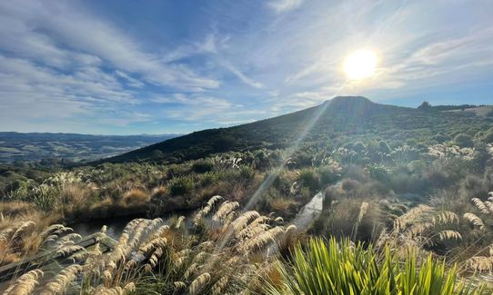
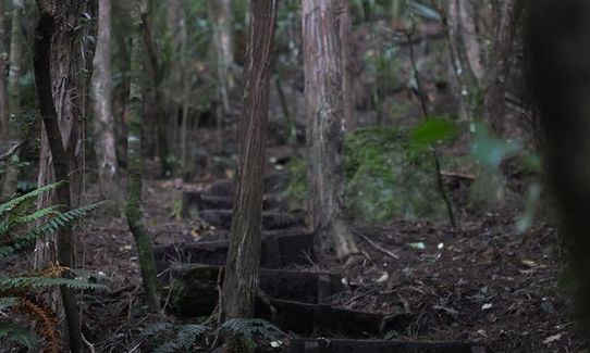
Wonderful birdlife including accessible Takahe and Kaka

If you know of any public toilets near the trail start or on the route, please login and then let us know so we can update this section.

No public transport, but there is a sizeable carpark.

20 km

26 minutes

Unknown

No

Moderate.

Just read the map at the start and compare to my instructions and it will be easy.

Patchy.

Short-sleeved thermal top, Windproof jacket, Beanie/thermal headwear, Whistle, First aid kit, Extra food for emergencies, Cellphone, Map

There was water at several spots... not sure how drinkable, but you are only ever a couple of km from the cafe at the base.

Well formed trails should be great all year round.

None of note

Orokonui Ecosanctuary Cafe
At the end of the run
Great food and awesome coffee and it supports the sanctuary.

You and Orokonui Heaven

As a VIP member you can record private notes for this trail, see all of your times and more.

Register Now

Already have an account? Login now

Trail Reviews

A rather special run within the predator-proof site of the ecosanctuary. Particularly nice on a hot day since almost all of it is shaded in the forest. Be prepared for frequent interruptions by tui, kaka, kereru, bellbirds and the odd kakariki. And make a special trip to the takahe area at 11am when they are being fed. This is easy to do, as it is near the entrance gate, also check out the geckos while there, then start your run when you've seen enough wildlife. Navigation sounds complicated, but it isn't, as long as you follow its well thought out logic.

Britta Steude

January 17, 2022

Login to submit a review

Trail Running Community

Find people who are interested in or have completed this trail run.

You must register or login to view this feature.

Register Now

Other trails nearby
Racing to Rain Gauge

Racing to Rain Gauge

Length: 16.0km

Level: Beginner - Intermediate

Taieri Mouth Millenium Trail

Taieri Mouth Millenium Trail

Length: 14.6km

Level: Intermediate

Karetai, Highcliff, Paradise and Greenacres

Karetai, Highcliff, Paradise and Greenacres

Length: 13.7km

Level: Intermediate

The Bullring Basher

The Bullring Basher

Length: 37.0km

Level: Intermediate

Find more trails and peaks nearby