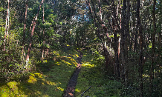
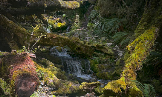
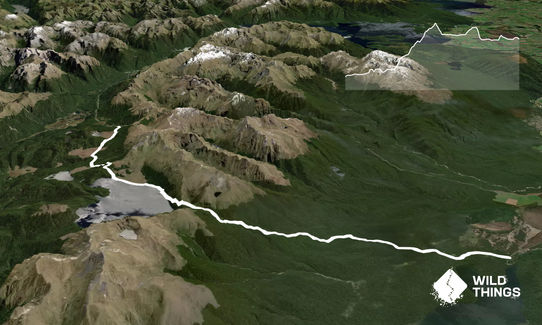
From the Trail Head the track is clearly marked, it shares the first 3km or so with the track to Rodgers Inlet. There is a stream crossing very early on, don't worry about trying to keep your feet dry. There is almost no chance of that on this track.
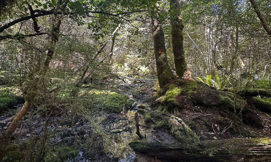
Early on there is also some windfall, if you pay attention to the worn patches you will pick up the trail again on the other side (also a great idea with this route to download the GPX to your watch or phone). Just before 3km in there is a bit of a climb and just after this is the clearly marked intersection. Head right on the trail to Green Lake. Then, after a bit of undulation, some more windfall and a few sections of muddy semi-swamp trail, at about 6km the climb starts, about 700m vert over the next 6km. Nearly all technical or semi-technical with tree roots, stream crossings and technical trail.
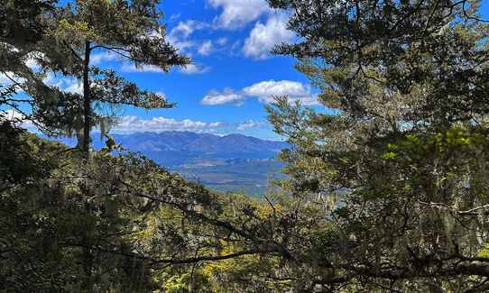
There are many swampy sections and again, if you pay attention to the worn tracks of those who have preceded you, then you will get up. The last section to the top is through some semi swampy grassland, when you first exit the trees onto the grass there is no apparent marker, keep heading up to the tree line ahead, after 100m or so you will see a marker and then one in the trees ahead. Once you reach the top, the decent to Green Lake begins. Again a lot of windfall to negotiate, technical downhill with a few ups thrown in.
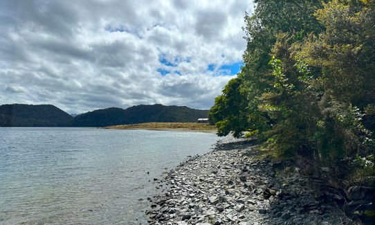
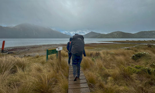
Once you reach Green Lake Hut, stop, recharge and then head out on the trail around the lake. This section of the trail is a lot clearer with obvious track in the bush sections and clear poles on the grass sections. Most of the grass sections are wetland underneath, so care is required with your footing. Eventually you will reach Borland Road where (hopefully) your ride is waiting.
