Front country - easily accessible
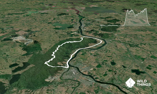
Loop
Very hilly
Native bush
Plantation/exotic forest
Sealed Road
Moderate Single Track
Technical Single Track
Average Uphill Gradient: +7.3%
Average Downhill Gradient: -8.4%
Login as a VIP to see the trailhead information.
4:00
Slow
3:00
Moderate
2:00
Fast
Can be quite muddy through the single track, lots of tree routes, track can be a bit obscure in places, there are markers on the majority of the track. Staired track from top view platform.
This trail includes the peak Hakarimata.
If you know of any public toilets near the trail start or on the route, please login and then let us know so we can update this section.
Parking area on Brownlee Ave.
1 km
2 minutes
Unknown
No
Hard.
The 12 km to 19 km points can be difficult to follow, there are route markers but the track is extremely rooty and foot placement is critical.
Unknown.
Whistle, First aid kit, Extra food for emergencies, Cellphone, Map
Take your own hydration, the only other water will often be from the mud.
Mud can exists weeks after rain.
Trail Legend
Fastest Known Times (FKTs)
You and Hakarimata, Brownlee Ave Loop.
As a VIP member you can record private notes for this trail, see all of your times and more.
Already have an account? Login now
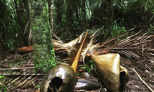
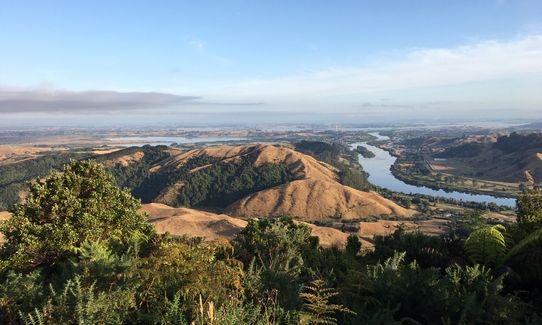
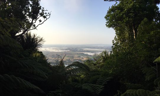
I started at the northern end, heading south before finishing on Hakarimata Road. Big stepped climb to start with, but was rewarded by some magic views of the Waikato. See photos. No issues with mud and route finding, but plenty of tree roots. The run along Hakarimata Road was a bit hairy in places with little shoulder to run on.
January 27, 2020
I really enjoyed this. Can also add on another ~5km and follow the ridge to Waingaro Road before looping to Brwnlee.
February 3, 2019
These overlap with this trail to some degree. You may wish to combine them but please note that to qualify for FKTs on these runs you should record a separate activity for each.