Urban fringe
Loop
Very hilly
Dog Friendly
Native bush
Gravel Road
Technical Single Track
Average Uphill Gradient: +16.9%
Average Downhill Gradient: -15.7%
Login as a VIP to see the trailhead information.
1:30
Slow
1:10
Moderate
0:50
Fast
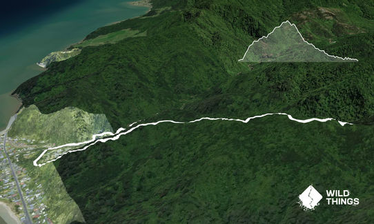
A short sharp shock, straight up and down. Climb 344m in 2km on rocky rooty terrain, then descend 344m on soft bush track. No water on way up but follow a stream on way down. Last 5 min is on gravel road. Good swimming hole at start/finish.
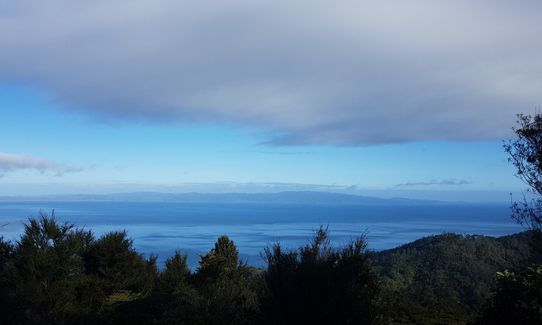
Gold mines, regenerating bush, Firth views.
If you know of any public toilets near the trail start or on the route, please login and then let us know so we can update this section.
Room for around 6 cars at parking bay, and plenty more on Victoria St. No public transport - yet.
4 km
6 minutes
Yes
No
Easy.
Orange DOC triangles throughout. There is a rotten bench at the top - no rest there! There is a gigantic orange triangle and a broken sign saying Rocky's where the track starts to descend. At the end of the track, in Tinker's gully, turn left on the gravel road to reach the car park.
Perfect throughout.
Lightweight fleece top, Seam-sealed waterproof jacket, Beanie/thermal headwear, Whistle, First aid kit, Extra food for emergencies, Cellphone, Map
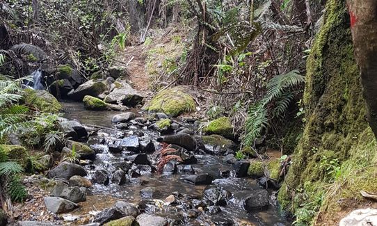
This is a short track. There is no water on the upward leg but you follow a stream coming back down again.
Stays dry on ascent but can be muddy on the descent and you cross the stream 3 or 4 times.
Stream crossings with slippery rocks.
Waiomu Beach Cafe
Waiomu - about 10 drive north up the coast road
On facebook.
Home made grub, gluten and dairy free if you need it. Pizza menu. Ice cream, beer and wine! Open every day from early.
Trail Legend
Fastest Known Times (FKTs)
You and Rocky's Path Tararu
As a VIP member you can record private notes for this trail, see all of your times and more.
Already have an account? Login now
The trail description rather undersells the difficulty of this trail, particularly on the downhill. Mike Tennent's description is accurate. Also, there has been a large slip during a storm and this part of the trail is quite difficult to navigate although some orange tape on trees marks routes through and around it. When I got to the Victoria Rd end I found a sign stating the track was closed due to storm damage - I wished there had been a sign at the campground end too!
January 5
This was an interesting adventurous little trail. The uphill was a good grunt with a few rests once up on the ridge before the next steeper bits. Nice views looking back down in the few breaks in the trees. The downhill was a fast steep technical descent until hitting the stream where the gradient eased. Fully agree with previous comments about care needed with some of the tricky bits into and out of the streams. I did manage to keep my feet dry.
Despite the previous two days of heavy rain the track was pretty dry after a morning of sun.
September 8, 2020
A good serious climb to start with, however as another reviewer pointed out, there are stream crossings galore on the way down...about 10! Some of them are quite technical and involve climbing up and over slippery rocks... so anyone not comfortable with that should avoid this. In the whole 3km or so of technical trail there was really only a few hundred metres where you could open up and cruise down hill. The rest was steep, technical, often slippery mud or clay and at times way slower than the climb up. Also the 5 minutes of road at the end is actually 1.3km... so unless you are very fast...
August 8, 2020
More Rocky stream crossings than anticipated after the run description.
February 4, 2019