Last Updated: 21st Sep 2023

Beginner - Intermediate

Save Trail Save

I've done it Done

Wainui Trail Park

Lower Hutt, Wellington

Submitted by Rita Onosa

Last Updated: 21st Sep 2023

Beginner - Intermediate

Save Trail Save

I've done it Done

Open

Grunt Factor: 19 ?

Gnarl Factor: 30 ?

12.0km

650m

650m

345m



Login as a VIP to see driving directions, distance and time.

Trail Map

Type of Run

Urban fringe

Loop

Undulating, small hills only

Dog Friendly

Native bush

Open ridges/tops

Run Makeup

15%
45%
40%

Farm Road / 4WD Track

Easy Single Track

Moderate Single Track

Average Uphill Gradient: +12.3%

Average Downhill Gradient: -11.1%

Trailhead

Login as a VIP to see the trailhead information.

Estimated Times to Run

2:00

Slow

1:30

Moderate

1:00

Fast

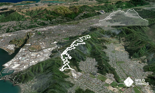
This particular course follows the track in an anticlockwise direction. You start at the Wainuiomata Trail Project park entrance with a good kilometer of 4WD track allowing you to pick up the pace before you hit the single trail. The next 15 minutes or so is a consistent but very runnable climb up to the ridgeline.

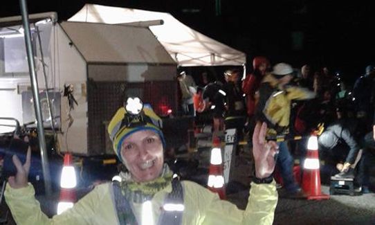
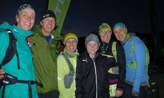
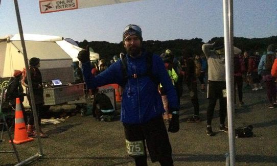
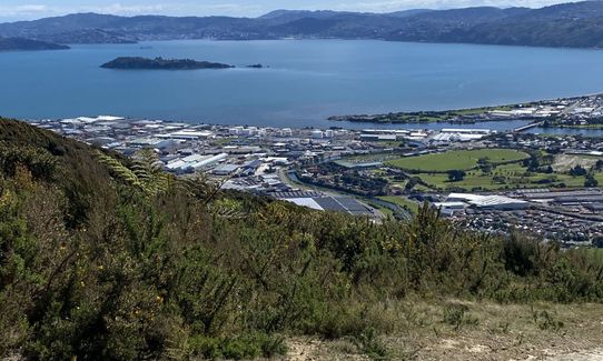
Turn right, following a track called Towhai Traverse and adding in another loop that includes a steep climb which is well worth the effort because once you get to the top you get rewarded with the most beautiful 360 degrees view of Wellington. I did this run at night time (Xterra starlight run) and although its was freezing cold it was a clear night and the views of Wellington were AMAZING!) Once you've soaked in the views and taken the compulsory selfie :-) you head left back down the hill (check out the views over Wellington again!) on another section of 4WD. Finally back into the bush for the final couple of km back to the finish line.

Amazing views of Wellington region from the top!

If you know of any public toilets near the trail start or on the route, please login and then let us know so we can update this section.

There is some parking at the park entrance and plenty of off street parking on Waiu St, especially in the weekend as it's somewhat an industrial area.

10 km

14 minutes

Yes

No

Easy.

Easy to navigate even at night. There are a lot of other tracks in the park.

Perfect throughout.

Long-sleeved thermal top, Seam-sealed waterproof jacket, Windproof jacket, Gloves, Whistle, First aid kit, Cellphone, Map

There is no water on the course, you'll have to carry your own.

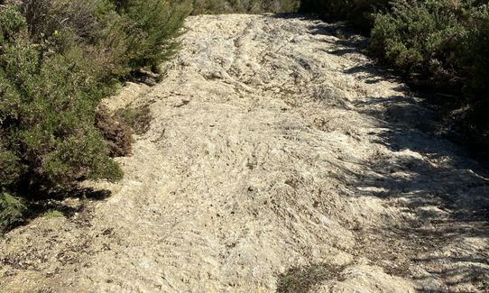
It can get quite muddy in winter or after a lot of rain. The only big climb in this run goes over very rocky surface which again can be very sllipery in winter.

You and Wainui Trail Park

As a VIP member you can record private notes for this trail, see all of your times and more.

Register Now

Already have an account? Login now

Trail Reviews

I wish I had read Jon's review before venturing out to Wainuiomata to attempt this route. It is very dangerous! I bailed out of going up hill on a downhill MTB track. There is a big sign saying no entry so cannot miss it (about a km in). Instead I took a lovely track that eventually joined up with this trail near the ridgeline. Great views up high and lovely native bush single track. The descent back over the last couple of km is slippery and steep in places after rain. I got drenched when I did it and covered in mud!

David Hosking

April 11, 2023

Warning - this is DANGEROUS if run according to the description and GPX. It took me the wrong way up a downhill track and I had a VERY near miss with a bike. It could have been disastrous for both of us. There must be a better route that doesn't go up downhill MTB trails. I suspect this was taken straight off an Xterra race event where the MTB park is closed for bikers. Suffice to say I won't be running this route again!

Joe Benbow

July 6, 2021

To avoid going the wrong way up a one way track I usually start by running up Jungle Gym - Labyrinth - Towai Traverse. I end with Freewheel - Snail Trail.

Richele McKenzie

January 28, 2021

Really nice trails but would recommend reading the xterra website for a trail guide/map as there are multiple turns you can make and you it is easy to get off course. The trail links up quite few different mountain bike tracks.

Jon Peter Hart

November 8, 2017

Login to submit a review

Trail Running Community

Find people who are interested in or have completed this trail run.

You must register or login to view this feature.

Register Now

Overlapping Trails

These overlap with this trail to some degree. You may wish to combine them but please note that to qualify for FKTs on these runs you should record a separate activity for each.

Te Whiti Firebreak Calf Burn

Te Whiti Firebreak Calf Burn

Length: 8.0km

Level: Beginner - Intermediate

Other trails nearby
Te Whiti Riser

Te Whiti Riser

Length: 8.2km

Level: Beginner - Intermediate

Belmont Trig

Belmont Trig

Length: 12.0km

Level: Beginner - Intermediate

Baring It All

Baring It All

Length: 9.5km

Level: Beginner

Mukamuka Munter

Mukamuka Munter

Length: 30.0km

Level: Intermediate

Find more trails and peaks nearby