Last Updated: 21st Sep 2023

Beginner

Save Trail Save

I've done it Done

Wainuiomata Recreation Area

Lower Hutt, Wellington

Submitted by Joe Benbow

Last Updated: 21st Sep 2023

Beginner

Save Trail Save

I've done it Done

Open

Grunt Factor: 8 ?

Gnarl Factor: 19 ?

5.9km

200m

200m

220m


Login as a VIP to see driving directions, distance and time.

Trail Map

Type of Run

Urban fringe

Loop

Undulating, some big hills

Dog Friendly

Native bush

Riverside

Run Makeup

100%

Easy Single Track

Average Uphill Gradient: +10.2%

Average Downhill Gradient: -9.7%

Trailhead

Login as a VIP to see the trailhead information.

Estimated Times to Run

1.00:00

Slow

0.35:00

Moderate

0.25

Fast

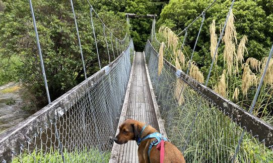
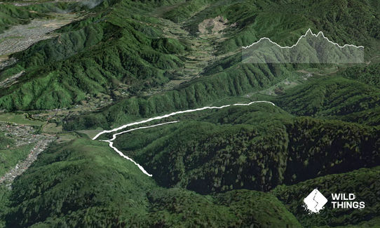
From the car park, cross the road and head along the gravel path down past the swimming hole and across the bridge, turning left on the other side on Gums Loop track.

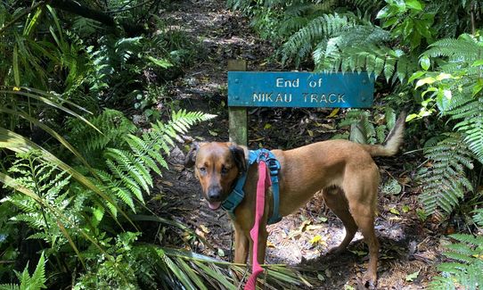
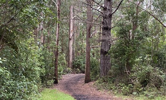
At the next intersection, bear right into Nikau Track and follow this upstream about 800m to the benches at the end. Retrace your steps back to the intersection, and keep right on Gums Loop. After another 800m, take the right turn up Tana Umaga Track. This is steep and can be slippery in places.

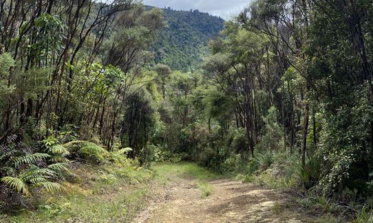
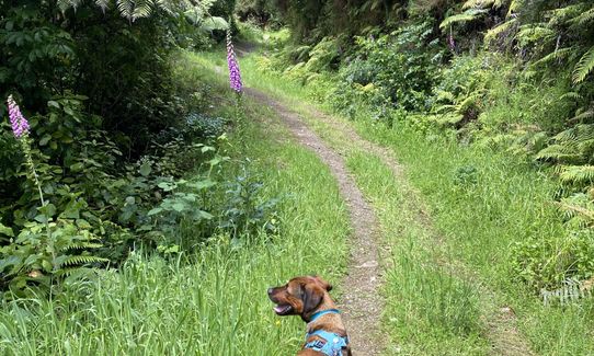
After another 1k, you'll come to a T-junction joining Sledge Track. Turn right here again and follow the trail down through the bush and emerging onto a grassy track. When you reach the fork, head left up the gravel path and across the boardwalk then you'll come to the remains of Mackay Cottage (which houses a picnic table if you need a breather).

From here, follow the path downhill to the right, head over the swingbridge, then turn left and follow the path that runs alongside Reservoir Road for the last km back to the car park.

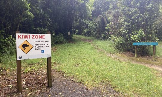
NB: Due to kiwi in the area, dogs must be kept on a lead at all times and are not permitted at all on the Lower Dam walk above the swingbridge junction (not part of the route)

If you know of any public toilets near the trail start or on the route, please login and then let us know so we can update this section.

Plenty of safe parking in a well-used area. If taking public transport, buses stop on Hine Road, and you can cut through Richard Prouse Park.

12 km

17 minutes

Yes

No

Easy.

Very patchy.

Short-sleeved thermal top, Windproof jacket, Whistle, First aid kit, Map

You're close to streams throughout this run, but you shouldn't need to use them for such a short one

The steeper parts (Tana Umaga and Sledge tracks) can be quite slippery in places

Trail Legend

Raewyn Peters

Raewyn Peters

has completed Wainuiomata Recreation Area once in the last year.

Learn about Trail Legends.

You and Wainuiomata Recreation Area

As a VIP member you can record private notes for this trail, see all of your times and more.

Register Now

Already have an account? Login now

Trail Reviews

What an absolutely wonder area to have a stretch out in. A wee gem

Tony Sharpe

November 16, 2023

What a delightful little run to stretch out your legs. Done in the pouring rain, but still perfectly doable, long stretches are gravelled and grippy.

Britta Steude

March 24, 2022

Nice run - very wet when I ran it....and the trail held up pretty well - only slippery in small patches. Great small route through a wide variety of foliage and terrain.

David Hosking

December 7, 2021

Great little trail, and worth the drive out to Wainui. Thanks Joe!

Richele McKenzie

November 30, 2020

Login to submit a review

Trail Running Community

Find people who are interested in or have completed this trail run.

You must register or login to view this feature.

Register Now

Other trails nearby
Te Whiti Firebreak Calf Burn

Te Whiti Firebreak Calf Burn

Length: 8.0km

Level: Beginner - Intermediate

Sugarloaf and Waterfalls Loop

Sugarloaf and Waterfalls Loop

Length: 4.6km

Level: Intermediate

Mt Matthews

Mt Matthews

Length: 27.0km

Level: Intermediate - Experienced

Soil Bureau

Soil Bureau

Length: 6.5km

Level: Intermediate

Find more trails and peaks nearby