Last Updated: 8th Nov 2024
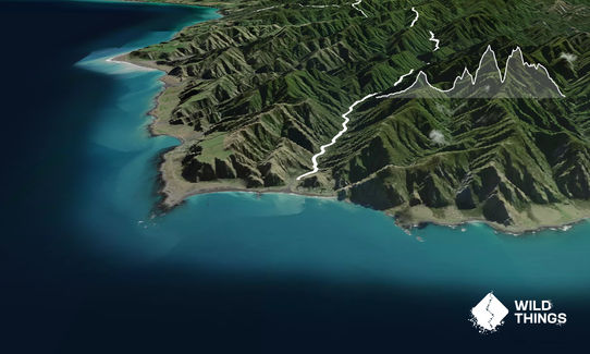
Aorangi Undulator
Submitted by Ian Tulloch
Last Updated: 8th Nov 2024
Open
Grunt Factor: 87 ?
Gnarl Factor: 76 ?
30.0km
2800m
2800m
690m
Last Updated: 8th Nov 2024
Submitted by Ian Tulloch
Last Updated: 8th Nov 2024
Open
Grunt Factor: 87 ?
Gnarl Factor: 76 ?
30.0km
2800m
2800m
690m
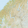
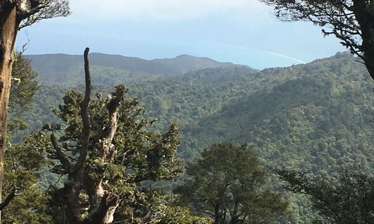
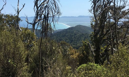
Back country - remote
Point to Point (one way)
Undulating, some big hills
Dog Friendly
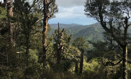
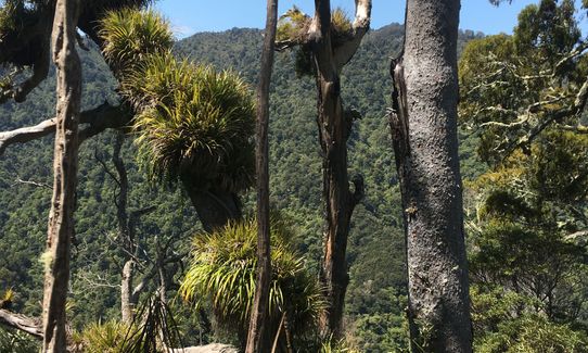
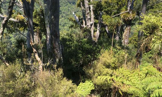
Native bush
Riverside
Open ridges/tops
Farm Road / 4WD Track
Easy Single Track
Moderate Single Track
Technical Single Track
Untracked / Route only
Average Uphill Gradient: +15.3%
Average Downhill Gradient: -13.5%
VIP Feature: Send this route to your Garmin account so you can follow the course on your Garmin device.
Login as a VIP to see the trailhead information.
Not suitable
Slow
9:00
Moderate
6:00
Fast
From Chris Martin on the Aorangi Undulator website, this is key information when on the trail:
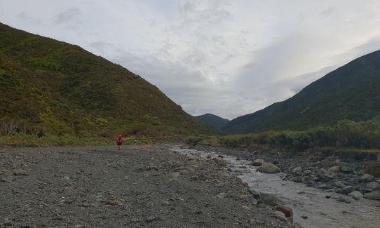
Start at Mangatoetoe river end to Kawakawa Hut. Follow river upstream. After 4km the river splits around an island before rejoining further upstream. Take the left (true right) side. Another 1km there’s a river junction on the right (true left). Take left river (true right) and aim for the large orange DOC triangle.
Travel now up river, dipping in out, it is gorge-like. Follow regular DOC orange marks where possible. Exit fork from river well marked by cut cabbage tree stump in river.
UNDULATION #1 Approx. 130m steep vertical climb. Cross the saddle, then a very steep descent, TAKE CARE. Descent ends by waterfall and pool – follow river downstream, rocky boulder-hopping for 4km. At that 4km point make sure you are scanning the true right of river as there will be a big DOC triangle marking where you leave the river bed. You must spot this or you will miss the turn off and head down the river. The triangle leads you into a copse of trees and a track that leads to Kawakawa Hut.
Kawakawa Hut is on true right of river. A 4WD track crosses river at hut.
Kawakawa Hut to Pararaki Hut: Head upstream crossing creek regularly for 10 to 15 mins. Turn left at ‘Pararaki Hut’ wooden sign.
UNDULATION #2 Approx. 310m vertical climb. Steep climb up narrow ridge – careful, don’t fall off. Long cambered sidle to saddle. When you hit the BIG fallen log look hard left for the track not straight ahead. After saddle descend to Pararaki river. Turn right upstream at river.
Pararaki hut is 100m upstream on left (true right).
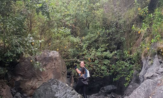
Pararaki hut to Washpool Hut isUNDULATION #3 Approx. 550m vertical climb. Windfall at base of track not far from hut, follow orange taps and markers. Solid climb, obvious track. Then very steep descent ending in a final 30 or so metres of loose scree, very easy to gather unwanted / wanted momentum. Turn left at Washpool stream and follow blazes downstream for 100m, look for sign to hut on true right bank and head up steps to Washpool Hut .
Washpool hut to finish: Follow well signed Kopi track, up, up and up. UNDULATION #4 Approx. 550m vertical climb. Steep climb, summit and obvious left towards NW ridge. Ridge undulates for 3km through bush. When you get to old fence and 4x4 track it is pretty much the climbing over. Descend through ‘Gorse Alley’ – like taking off a plaster this is best done quickly, showing weakness will be booed. Take signed left turn to Pinnacles. Turn left to lookout track NOT ‘Circular Walk’ and descend obvious stepped route to river valley. Turn right at river valley and follow river downstream. Look out for BLUE WARATAHS WITH ORANGE TRIANGLES. There are 2 and will put you on the track to the finish. If you miss them it’s not a major - you’ll just be running on rougher terrain and it will take longer.
If you know of any public toilets near the trail start or on the route, please login and then let us know so we can update this section.
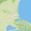
There's parking for about 20-30 vehicles at the start.
66 km
61 minutes
Yes
No
Moderate.
Refer to the description notes and use the Aorangi Undulator website
Non-existent.
Thermal leggings, Short-sleeved thermal top, Long-sleeved thermal top, Seam-sealed waterproof jacket, Windproof jacket, Gloves, Beanie/thermal headwear, Personal Locator Beacon (PLB), Whistle, First aid kit, Extra food for emergencies, Survival bag, Cellphone, Compass, Map, Headtorch and spare batteries
Rivers are great for drinking except for the first river
Streams could be high after rain, very muddy as well. Cold in a southerly
Very steep ascent and descent, gorse at eye level at later stages
Captains Table Food Truck
Ngawi
Grab something to scoff after a hard slog
Everest Bistro
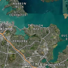
17 Fitsherbert street, Featherston
Coffee and cakes! Or more substantial sit down meals for weary legs...
Trail Legend
Login as a VIP to become a Trail Legend. Learn about Trail Legends.
Fastest Known Times (FKTs)
You and Aorangi Undulator
As a VIP member you can record private notes for this trail, see all of your times and more.
Already have an account? Login now
Send to your phone
Scan the below QR code to open this trail on your phone.

Tip: position the QR code in your phone camera screen.