Last Updated: 21st Sep 2023

Beginner - Intermediate

Save Trail Save

I've done it Done

Fenceline Loop

Otaki, Wellington

Submitted by Joe Benbow

Last Updated: 21st Sep 2023

Beginner - Intermediate

Save Trail Save

I've done it Done

Notice More info

Grunt Factor: 8 ?

Gnarl Factor: 27 ?

5.0km

190m

190m

313m


Login as a VIP to see driving directions, distance and time.

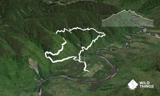
Trail Map

Type of Run

Front country - easily accessible

Loop

Undulating, small hills only

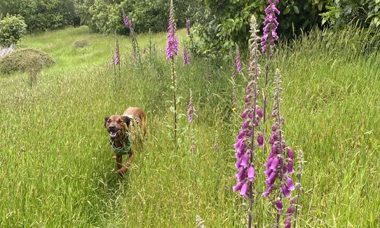
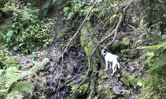
Dog Friendly

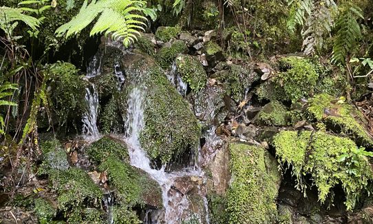
Native bush

Run Makeup

10%
50%
40%

Gravel Road

Easy Single Track

Moderate Single Track

Average Uphill Gradient: +8.2%

Average Downhill Gradient: -8.2%

Trailhead

Login as a VIP to see the trailhead information.

Estimated Times to Run

1.00:00

Slow

0.45:00

Moderate

0.30

Fast

Easy loop, well signposted that can be run in either direction.

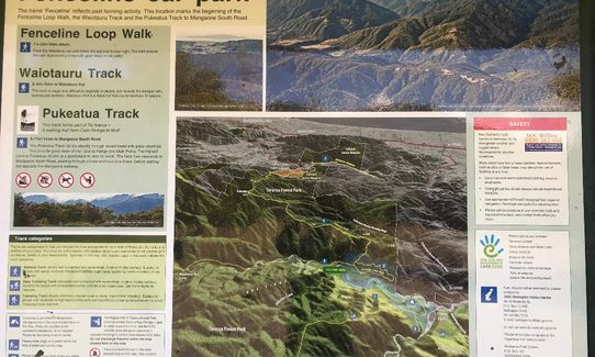
From the notice board, head up the track to your right then at the noticeboard you have the choice of going left (clockwise) or right (anticlockwise). The GPX goes clockwise.

The Waiotauru and Pukeatua tracks lead off this trail but ignore those turnoffs; these are part of the Goblins Gander.

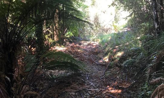
Easy to follow the trail up through the forest and back to where you started.

Just note that due to the reduced access to Ōtaki Forks, there are currently several slips and downed trees you will need to navigate across. Care should be taken accordingly.

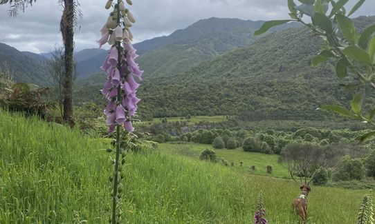
The Fenceline Loop passes through regenerating forest above the campground and gives some good views of the Waiotauru Valley.

If you know of any public toilets near the trail start or on the route, please login and then let us know so we can update this section.

Up until 2020, it was possible to drive all the way to Ōtaki Forks and park at the carpark. However, at the time of writing (March 2022), the Ōtaki Gorge Road is closed to vehicles and pedestrians until further notice. There is an emergency track that you can walk to gain access to Ōtaki Forks. It is 5 km long and can be accessed 200 m past the locked gate on the Ōtaki Gorge Road.

20 km

37 minutes

Yes

No

Easy.

Non-existent.

Short-sleeved thermal top, Windproof jacket, Personal Locator Beacon (PLB), Whistle, First aid kit, Extra food for emergencies, Survival blanket

Water at Waiotauru River.

Mostly undercover so it's a very sheltered one to do in inclement (or very hot) weather.

7 March 2022: The Ōtaki Gorge Road is closed to vehicles and pedestrians until further notice. There is an emergency track that you can walk to gain access to Ōtaki Forks. It is 5 km long and can be accessed 200 m past the locked gate on the Ōtaki Gorge Road.

Due to the reduced access, there are currently also several slips and downed trees you will need to navigate across. Care should be taken accordingly.

You and Fenceline Loop

As a VIP member you can record private notes for this trail, see all of your times and more.

Register Now

Already have an account? Login now

Trail Reviews

Be the first to submit a review for Fenceline Loop!

Login to submit a review

Trail Running Community

Find people who are interested in or have completed this trail run.

You must register or login to view this feature.

Register Now

Overlapping Trails

These overlap with this trail to some degree. You may wish to combine them but please note that to qualify for FKTs on these runs you should record a separate activity for each.

Goblins Gander

Goblins Gander

Length: 37.0km

Level: Intermediate - Experienced

Other trails nearby
Field Hut Frolic

Field Hut Frolic

Length: 12.1km

Level: Intermediate

Mt Hector (From Otaki Forks)

Mt Hector (From Otaki Forks)

Length: 23.5km

Level: Intermediate

South Main Range Loop

South Main Range Loop

Length: 47.0km

Level: Experienced

Chrystalls Bend Walkway

Chrystalls Bend Walkway

Length: 5.4km

Level: Beginner

Find more trails and peaks nearby