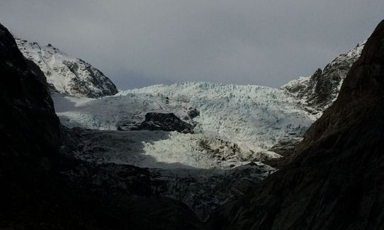
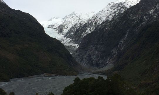
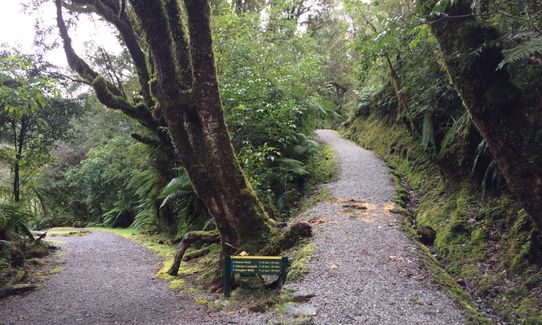
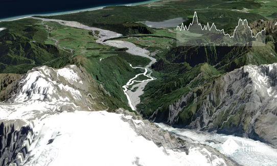
The run starts at the carpark and you take the eastern track up to Franz Josef Glacier ... this starts along a well formed track as outlined in the Franz Josef Glacier trail guide. After about 800m you drop down into the riverbed and follow this track for 2kms all the way up to the glacier viewpoint. This may be restricted after heavy rains or snow melt so check it out before you head off. Once you've had your fill of the glacier which is retreating rapidly head back the way you came.
At around the 5.4km mark and just before you cross the bridge on your return you will see a track on your right that takes you up Sentinel Rock ... it's a grunty wee climb up to a great look out point with a great visualisation of where the glacier has retreated from with a wee timeline - worth the diversion. Head back the way you came for a knee crushing descent and then turn right at the bottom to take you back to the carpark.
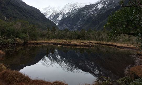
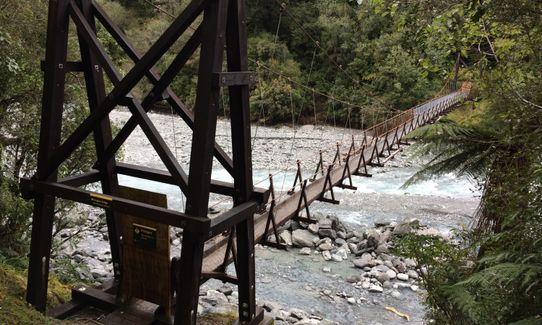
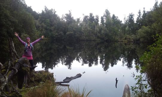
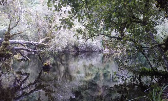
From here follow the track and turn right before you reach the toilets onto the Peters Pool/Douglas Walk track. After 1km of undulating track you will arrive at Peters Pool, a Kettle Lake formed from ice melting as the glacier retreated. On a good day you'll get some good reflection photos here. Continue along this track and take a wee side trip to check out the currently closed Douglas Swingbridge before continuing along through beautiful native bush until you reach the access road.
Carefully cross the road and follow the signs to the Lake Wombat track. This track climbs steadily through stunning bush passing the turnoff to the Alex Knob track and continues on climbing to Lake Wombat which is another delightful kettle lake formed when the glacier retreated. Picture while you are standing at the edge of the lake that this was once part of the glacier and that it once extended 10km past the current coastline. Hard to fathom. Once you've had your fill turn around and enjoy the delights of the descent as you bound down the trail. Once you get to the junction at the bottom turn right on the trail and follow this track all the way back to the carpark. It's slightly uphill so don't despair if it feels harder than your eyes think it should. If you feel so inclined stop at the bird song station and check out the songs of your favourite native birds.
